
 Climate
 Privacy
 Bob Dylan
 Drones
 Data Centers
 AI Governance
 2026 Maine Senate Race
Drones Expand Remote Rescue Operations
Coverage from 9NEWS, CBS News Colorado, and others
Articles
4
Active Days
86
The Topic
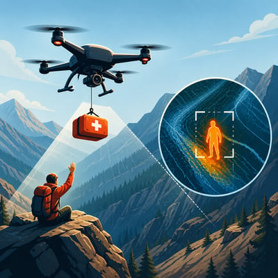
Public-safety agencies are using drones to find people faster in rugged or remote areas, establish communication, guide rescuers, monitor dangerous scenes, and deliver basic supplies. Colorado teams use drones for location measurements and food and water drops, while an Arizona sheriff’s office is testing AI-assisted image analysis to narrow search areas; law enforcement in Northern California used drones to locate a trailer during a hostage standoff. The deployments show drones extending ground teams’ reach, although weather, terrain, model accuracy, and the need for trained operators remain practical constraints.
First Article: 04/27/26
Latest Article: 07/21/26
Summary
- Colorado rescue teams used drones to locate stranded hikers and climbers, communicate with them, and guide ground or rope teams.
- Douglas County Search and Rescue delivered food and water by drone while rescuers crossed rugged terrain.
- Coconino County is testing LOC8 and locally tuned AI models to reduce the volume of search imagery requiring manual review.
- Drone obstacle avoidance and visual navigation help support operations in canyons and areas with weak GPS signals.
- Siskiyou County authorities used drones to identify a trailer during a prolonged hostage standoff in a remote forest campground.
- Wind, terrain, GPS limitations, payload accuracy, and operator training continue to affect mission performance.
History
The story now emphasizes broader operational use of drones beyond search and supply delivery, especially two-way communication and AI-assisted image review in Arizona. It also reframes the California incident as surveillance during a hostage standoff in Northern California, while keeping the same core limitations.
The story has broadened from Colorado and Arizona rescue support into a wider multi-agency drone deployment picture that now includes a California law-enforcement standoff use case. It also adds more operational detail on how drones are being used in the field, especially autonomous imagery processing and payload delivery.
Featured
Timeline: 86 Days
Hover over any logo to see coverage summary, click for full article.