History
07/23/20260 new articles
The story now places more emphasis on Spexi as a separate drone-imagery pipeline for AI and commercial use, while sharpening the defense framing around Vantor and GPS-denied operations. The core privacy dispute remains, but it is now framed more specifically around civilian scans being absorbed into models rather than directly shared.
07/23/20260 new articles
The story has broadened from a contested defense-navigation use case into a clearer execution picture: Niantic’s technology is now being tied to multiple commercial deployments, while the Vantor tie-up has more explicit testing results and scope. The privacy dispute also sharpens around consent and the reuse of civilian scans in models that may support military systems.
- December 2025 Vantor partnership date and scope
- Niantic cites billions of geospatial images in model training
- Reported 70 percent error reduction in Vantor testing
- Commercial deployment extends to delivery robots
- Privacy debate centers on consent for military-capable reuse
07/22/20262 new articles
The story now places much greater emphasis on a specific Vantor partnership and on technical evidence that the positioning system can work in GPS-denied conditions, while clarifying the disputed status of Pokémon Go data in deployed military models. It also broadens from drone navigation into wider AI and robotics uses.
- Vantor partnership combines ground visual localization with aerial navigation software.
- Early testing reported positioning accuracy within about 1.5 meters.
- Niantic and Vantor deny directly sharing Pokémon Go data.
- Spexi use is expanding into robotics, inspection, and disaster response.
- Coco Robotics appears as a new commercial partner.
06/29/20262 new articles
The story has sharpened from a broad spatial-AI and defense partnership into a more specific drone-imagery pipeline with explicit military relevance and a newly prominent privacy dispute. It also adds new actors and clarifies that the underlying consumer scan data may have come from Pokémon Go.
06/12/2026Topic Formed
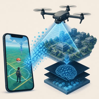
Niantic Spatial has repurposed location scans and drone imagery to train 3D spatial AI models that can support navigation, localization, and reconstruction in the physical world. The most prominent current development is a partnership with Vantor to combine ground-level and aerial positioning systems for GPS-denied environments, including defense use cases. The topic also includes a broader commercial push to turn drone-captured imagery into training data for physical AI systems.

 Climate
 Privacy
 Bob Dylan
 Drones
 Data Centers
 AI Governance
 2026 Maine Senate Race